Showing posts with label Ballard history. Show all posts

2/1/21

Seattle's Ballard Beach Pre-Shilshole Marina and Present Day

Seattle experienced big changes along it's shorelines in the 20th century.  In Ballard, Shishole Bay went from a rural gravel covered beach with forested hillsides to fully developed with filled in shores, pavement and residential areas.  

Ballard Beach pre-road (looking North to Golden Gardens)


Ballard Beach, 1920's looking South


Burke Gilman link, Seaview Ave and Shilshole Marina, 2021


Ballard Beach looking southwest towards the entry to Salmon Bay, Magnolia and West Point


From 34th NW street overlooking Shilshole Marina, approx 1960's, early marina days.


                               From the 34th NW St park overlooking Shilshole Marina 2021

8/24/20

Ballard Shoreline Aerial Comparisons - 1940 and 2020

 Here's a fun comparison of the 1940's Ballard / Seattle shoreline and the current view from Google Earth.  

The now view is of the Seaview Avenue shoreline at the entry to Salmon Bay and Shilshole Bay at the location of the now Ray's Boathouse, former Anthony's, Ballard Elks Club, Sunset West Condos and the south corner of Shilshole Bay Marina.  

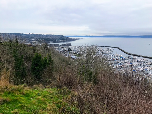
The bit of land across the channel is the NE corner of the Magnolia neighborhood.  

The 1940 view shows a different less developed shoreline with the reindeer ship, the SS Bering beached in front of the now Elks Club.  In the 1940's, the Tregoning Boat Company was located there.  

I believe the Ballard ferry landing was just south of (or above here) of Ray's Boathouse (to Port Ludlow and Suquamish).

The older photo also shows more beach homes across from Seaview Ave. Only a few are left now along with a few condos and misc buildings.  

From a surfing perspective, Point Shilshole is the point of land jutting out in the older photo. There's a nice wind swell rolling in and whitewater just offshore and along the shore.  

Looks like a good surf spot. We surf freighter and wind waves on Shilshole Bay so without the extra development and marina, we'd have one more downwinding and shore break spot!


Below is a Now and Then view from the Ballard Elks Lodge with the SS Bering looking out into Shilshole Bay. The ship was burned to make way for development in the early 1960'.  Now view from the Ballard Elks Sunset Cam.


8/8/20

Ballard Boat Works 1905 and Present

Sivert Engelsen Sagstad, a young Norwegian boat builder emigrated to Seattle and opened Ballard Boat Works, pictured here on lower Salmon Bay, pre-Locks in 1905.

I paddle past this shoreline weekly and have been trying to look for any early evidence of his boatyard and as well as any Shilshole tribal evidence which was prevalent along the shoreline prior to the boatyard.

When the Ballard Locks were being developed some of the shoreline below the boatyard was removed. In the 1905 mage, note that the shoreline had a gentle slope to the water.  In the Now images, the shoreline is shorter and abruptly drops to the water. 

Read more about Sagstad and the 70' Viking ship replica in this article from HistoryLink..  Read the HistoryLink story 

Now view from Seaview Picnic Park

Ballard Boat Works in 1905 and 'Now' view from Seaview Picnic Park

'Now' view from Seaview Picnic Park (location of yellow arrow)

2020 view of approx Ballard Boat Works location.  Photo: Salmon Bay Paddle


6/4/20

The SS Bering, a Reindeer Ship in Ballard

The SS Bering was a ship that was parked on the beach at Point Shilshole, now the home of the Ballard Elks Lodge. The Bering was built originally as the Annette Rolph at Fairhaven, California in 1918. The ship later spent time as a tramp steamship, reindeer ship, refrigerator ship and supply ship to Alaska during WW2.

In 1964, she was burned by the local fire department to make way for new development. Soon thereafter, the Ballard Elks Lodge was built on the site.


.
Now view from the Ballard Elks webcam.

In 1943, she ran aground on Cape Spencer. Her crew re-floated her. Seattle based Tregonning Boat Company bought her for $1 and proceeded to beach her at their facility on Point Shilshole where she sat for the next two decades.  

A piece of the hull can still be seen at extreme low tides (-3 ish).  I launch my kayaks and SUPs from that location nearly daily and still see pieces of the ship on the beach. About a decade ago, a guy was removing larger pieces from the ship to clean the beach. The pieces generally look like burnt looking wood planks covered in barnacles. 


Read more about the SS Bering in this great HistoryLink article.   See my article on the Ballard Elks Lodge history.

The location of the Ballard Elks is 6411 Seaview Ave NW, Seattle. 


By Rob Casey / Ballard


4/28/20

Salmon Bay Charlie's Home in Seattle

1905 view of Hwelchteed and Cheethlooleetsa's home on the NE point of Magnola, across from Ballard.  Photo by Webster and Stevens. 

The view looks up (SE) Salmon Bay towards the narrow bottleneck where the Ballard Locks and bascule train bridge were built between in 1915-1917. 


Hwelchteed was also known as Salmon Bay Charlie, the last chief of the Shilshole people who once had several longhouses inside the what is now Ballard and the Locks. 

The village was called 'Tucked Away Inside' for its hidden protected view from the Sound.  

Hwelchteed was evicted from his home in 1913 to make way for the Ballard Locks. The little point his house was perched on was removed as were sandbars across the channel. 

The taller of the two trees is often spotted in other photos of the bay during this period. 

See shoreline change in this photo.  Paddling past at lower tides you can see where the shoreline was dredged into a deeper channel. The shoreline only has one non-armored section just beyond where the photo is.  


His home was located near W Sheridian Street. 


Read more about this area in Coll Thrush's book Native Seattle.  

Also check Paul Dorpat's Seattle Times article on Salmon Bay. Lots of 19th century photos and maps.


Posted by Rob Casey