Last year I posted a set of before/after photos of Hollywood Beach in Port Angeles, with a focus on how much large-scale fill has transformed Washington's urban shorelines. This post is going to focus on the same area, but I'm going to try to emphasize the trade-offs, from a cultural and ecological stand-point, associated with that transformation. I feel that this particular photo:

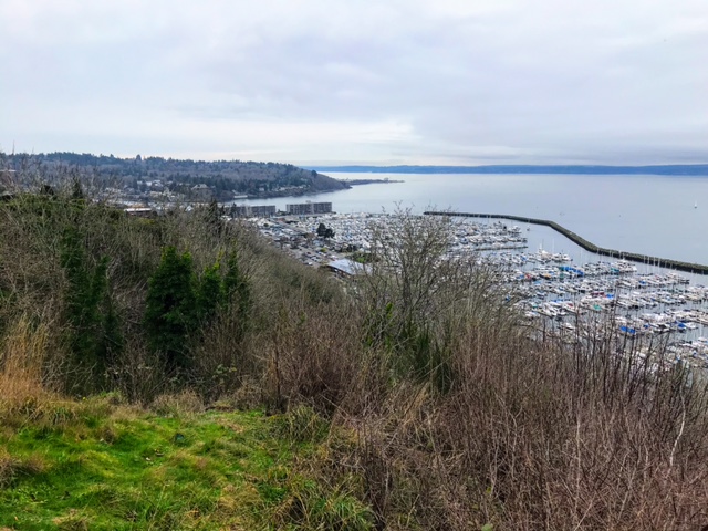
does this job well. This photo, taken from right about here, ended up in my collection, but I don't know a whole lot about it...when it was taken, whose collection its in, etc. (and who should be credited for it; please get in touch with me if you know anything about it). But this photo was definitely shot before downtown Port Angeles was filled around 1913, and gives us some perspective of both the uses (residences, canoes, etc.) and habitat conditions (a relatively broad, low-sloping beach and actively eroding coastal bluff) of this shoreline. The view from this perspective is now radically different:
 |
| June 2015 photo looking east along the historic shoreline near Hollywood Beach in Port Angeles |