2/25/22

When it was Cool to Burn Ships on Puget Sound..

As the maritime industry moved away from wood and more into steel hulls, the older boats were discarded, grounded or burned.  

On Puget Sound, it became a common practice to burn the old ships from the 1920's to the 1950's.  At low tides, scrap metal would be recovered. 

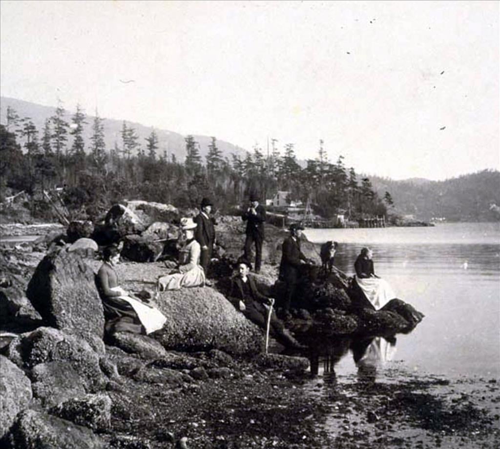
Families would come out and set up a picnic while watching ships burn along the shore at Richmond Beach and other spots along the Sound.  

Assuming this was before the environmental movement.  

Here's one from Richmond Beach titled by MOHAI as "Burning hull of the steam tug "Daniel Kern," April 1939". Read more about the Kern here


Read more about the Richmond Beach burning events at this link, called the Ronald BlogClick Here


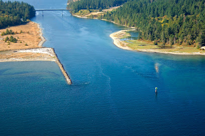
Here's a Google Maps view of the beach north of Picnic Point where a few were burned or grounded. 


The SS Bering, a former reindeer ship was bought by the Tregoning Boat Company in Ballard (Seattle) and was beached at what is now called Secret Beach.  

In 1964 it was burned to make way for shore development such as the Ballard Elks Lodge.  I wrote about the SS Bering in this blog post from 2000.  

Older Elks members told me they played on the ship as kids, one jumping off of it into the water.    At low tide you can still find burned pieces of wood with bolts and nails on the beach there. 


Current View at a -1 tide...


2/11/22

More tall ships...but this time in Port Angeles Harbor


The photo above was posted to a Facebook group I've joined, called Historic Olympic Peninsula, without attribution or credit.  But it was so striking that I decided to re-post it here...if any viewers know where this one is from please let me know.  The poster dated it to roughly 1895, and its a view of downtown Port Angeles, taken from about here and looking north.  Two things jumped out at me.  First, the tall ships in the harbor reminded me of my last post, which focused on tall ships anchored off of Port Townsend in 1891.  Second, this photo pre-dates, but about two decades, the filling of downtown Port Angeles, which is a focus of a few of my previous posts.  This view really provides a nice perspective on Port Angeles as a built-on-the-beach town.  Here is the modern view (February 2022):


11/30/21

Tall ships in Port Townsend Bay


This 1891 view of Port Townsend Bay is enchanting for so many reasons - the bay loaded with tall ships (and one hybrid steamer), the impressively crafted buildings and docks, and the streetcar in the near frame, and the sand roadways:

1891 view of Port Townsend and Port Townsend Bay.  Image credit:  Bert Kellogg collection.

I had a harder time than I expected trying to find the photographer's location, and I'm not sure I've got it right...but the modern view shot from about here next to Port Townsend's Fire Bell Tower seems to make sense, as its not difficult to imagine a photographer setting up (at what would have been a newly built tower site) there ~130 years ago:

9 July 2021 photo

Vegetation obscures much of the historic view, but the scale and size of the tall ships in the historic bay give a sense for the types of changes the waterfront of Port Townsend has scene in the last 130 years.

11/3/21

From Craven Peninsula to Port Townsend Canal

 In 1841 explorer Charles Wilkes named the small stretch of gravel connecting Port Hadlock with Indian Island Craven Peninsula after a member of his crew, Lt Charles Craven.

The peninsula was submerged at high tides. Natives and later settlers portaged over the peninsula at high tides.  

As early as the mid 1800's, there was interest in dredging the peninsula to make the channel a channel for shipping.  

Finally in 1915, the peninsula was dredged and a canal was created.  Local residents were promised a bridge that didn't come until 1952.  Prior, residents and later the Navy on Indian Island used a variety of boats and later ferries to cross the channel.  

Read more about the story of Craven Peninsula, the dredging, ferries and the bridge on this link:

Peninsula Daily News


10/7/21

Restoration and change on the Elwha River delta

 Another perspective on short-term change on the shoreline associated in part with restoration (like this post from June), again on the Elwha River delta (like this post from 2020).  This particular location is on the east side of the Elwha River delta, and was eroding rapidly between 2011 and 2015.  Here is what the site looked like in 2011:

May 2011 photo of the beach on the Elwha River delta, looking up the beach from the low tide line.  

By late 2013 the beach was heavily eroded, revealing large boulders on the beach, part of a failed defensive rip-rap structure built at some point in the past:

September 2013 photo

By Summer of 2016 sand associated with the removal of two dams on the Elwha River was moving through this area, but not in quantities adequate to re-bury those big rip rap boulders, or rebuild the beach to its 2011 position:

July 2016 photo

Later in the summer of 2016, though, those rip-rap boulders were removed as part of a restoration project, and the sediment from the dam removal kept pumping along the beach, so by 2018 the beach looked very different at this location:

July 2018 photo


9/5/21

Mistaken Identity - #2 - Seattle's Alki Point or Orcas Island?

 At least one historical hard cover Seattle photo history book and a HistoryLink post on Alki Point have presented this image as 'A Outing near Alki Point', 1889.  (Alki Point is in Seattle)


When I saw both publications, the image didn't quite feel like Alki or anything near Seattle.  

The large hill or mountain in the background seemed too tall and too close to be in Seattle.  

Often telephoto lenses can squeeze elements together and bring mountains closer to the foreground, but I assume the photographer didn't have a 600mm lens in 1889, even on a view camera.  

So I posted the image on the Facebook group "Puget Sound and Surrounds."  Everyone who responded agreed it's definitely not Seattle.  Maybe Chuckanut Drive, Hood Canal or.. the San Juans? 

It was decided through similar photos and Google Earth that it was Orcas Island!  

Here's the results! 


Post by Emily Wilmot - 


Posted by:
Ivan Dennison
The rocks these people are sitting on are still there (as is the landing on the opposing shore) and visible just to the left of the icon for the Inn.


Mistaken Identity - Blake or Waadah Island?

 I follow the Facebook group History of Puget Sound and Arounds whose followers post common and sometimes less known PNW history photos.  

In November 2019, group admin shared a post from another FB group showing this postcard from the early 20th century showing 'Puget Sound Indians' on the beach after fishing. 

Group members felt the location was Blake Island, across from Seattle.

Right off, I knew it was Waadah Island, which borders Neah Bay.  I've surfed around Neah Bay for years so know the area well.  

When you enter Neah Bay, you can view Waadah Island as you just arrive in town.  The island was connected to the shoreline at some point thus protecting the bay and its fishing fleet from ocean swell.

Below is the postcard and post from the history group.  

Further below are images I found showing the island in different eras including (middle) the image from the book "The Sea is My Country."